Where We Are
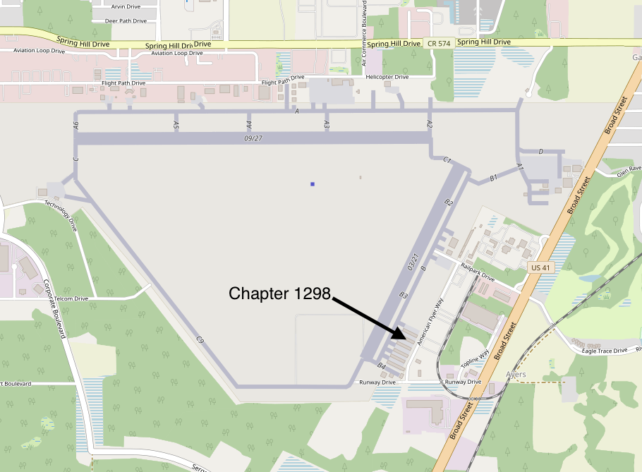
Chapter 1298 hangar location along American Flyer Way.
Brooksville-Tampa Bay Regional Airport (KBKV) is home to EAA Chapter 1298.
Chapter 1298 hangar location along American Flyer Way.
Weather source: AviationWeather.gov. Updated automatically.
Tower and Ground: 7:00 AM-10:00 PM. Verify current information before flight.
BKV is a towered general aviation airport serving recreational flying, flight training, corporate aviation, and other aviation activity in Florida's Adventure Coast.
The airport began as Brooksville Army Air Field during World War II. Operations began in 1942, and the field was used to train pilots and ground crews.
The 9th Bombardment Group trained here with B-17 Flying Fortresses and B-24 Liberators. Today the same airfield continues its aviation story as Brooksville-Tampa Bay Regional Airport.